ABOUT US
The Centre for Remote Sensing at the Institute of Geosciences is an Institutional Research Laboratory of UFMG that conducts research in analysis and modeling of environmental systems, including their applications in the design and evaluation of public policies.
ABOUT OUR WORK
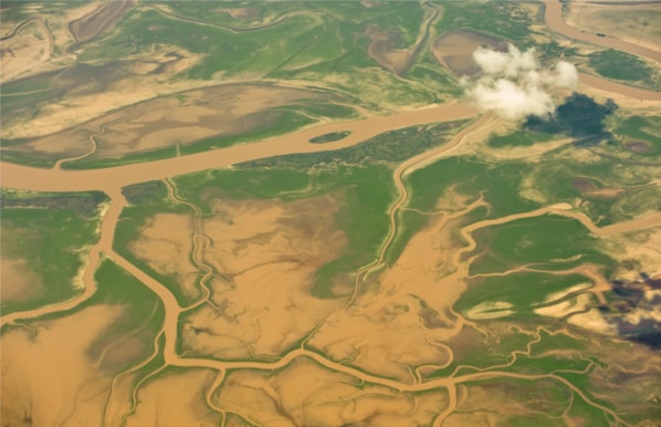
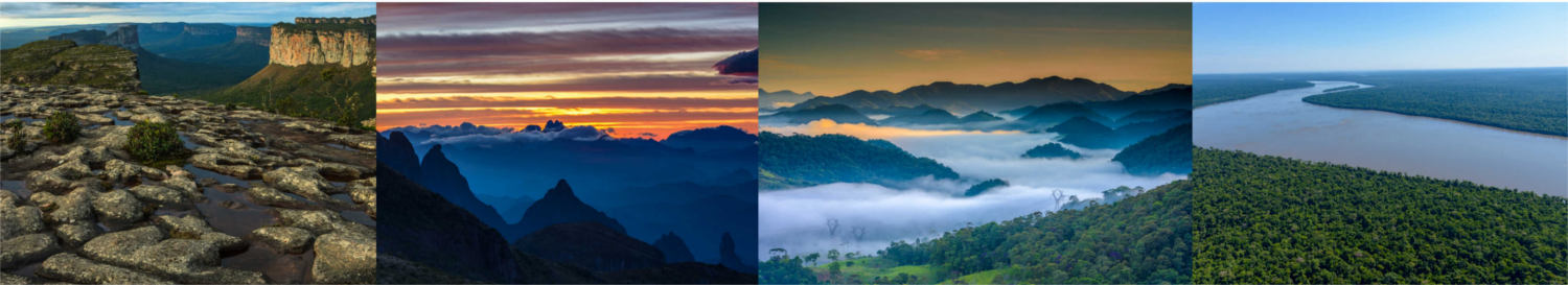
Our research consists of environmental modeling, in particular the development of models to simulate changes in land use and cover, agricultural and forest rents, urban dynamics, forest fire, fluvial regime and carbon balance. The applications of these models involve the valuation of ecosystem services, development of sustainable supply chains, territorial planning and the design of public policies, as well as ex-ante evaluation of the impact of these policies (see publications). Other important products of our research are the software DINAMICA EGO, a platform for environmental modeling, and mappia.earth, a set of tools for building interactive map servers.
Access the summary of activities developed at the Centre for Remote Sensing:
LATEST NEWS
LATEST VIDEOS
Watch here.
Watch it here.