About the Program
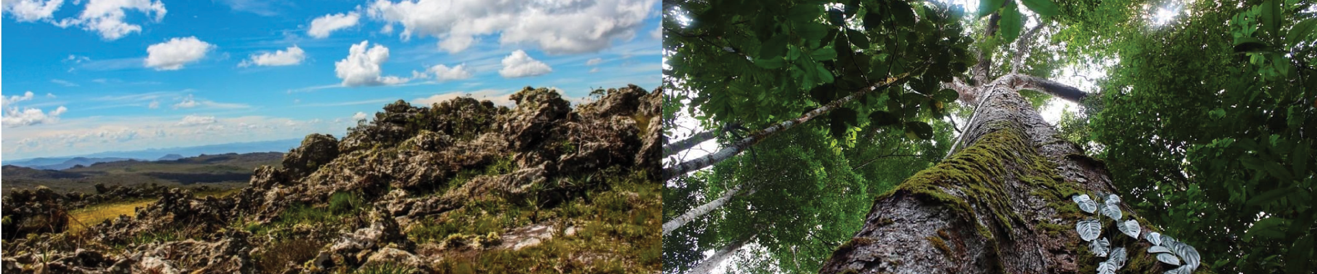
This Graduate Program in Environmental Systems Analysis and Modeling emphasizes the instrumental applications of geoprocessing, remote sensing and computer modeling for the study of environmental systems. These are characterized as systems with territorial expression if viewed under the light of the integrated interrelations between its socioeconomic, political, cultural and natural components, as well as between the physical and biotic environments.
The Program is singular due to the heterogeneity of its faculty and students, and by the synergy between different fields of knowledge. Under CAPES’s Environmental Sciences committee, the MSc Program in Environmental Systems Analysis and Modeling Program presents opportunities for graduate students in various fields of knowledge, such as ecology, environmental and forest engineering, agronomy, system analysis, computational mathematics, statistics, geography, geology, architecture and biology, among others – all liable to be involved with environmental systems analysis or modeling.
The program has a special focus on the applications of Remote Sensing; Geoprocessing; Spatial Analysis and Computer Simulation Models in Landscape Management Studies; Urban Analysis; Environmental Economy; Territorial Planning; Landscape Ecology; Climate and Biosphere Interactions; and Water Resources.
Scope
The Program fosters faculty and research present in the following fields:
- Soil Study, Survey and Classification; Soil Physics; Sustainability Indicators in Agroecosystems;
- Applications in Environmental Studies of: Systems Modeling, Landscape Ecology, Spatial Simulation Methods, Remote Sensing, and Geoprocessing;
- Human Geography – particularly Population, Migratory, Urban and Regional;
- Positional Accuracy of Spatial Data and Thematic Quality of Spatial Data;
- Digital Elevation, Remote Sensing and Image Processing Models;
- Geoprocessing in Mapping, Characterization and Promotion of Self-guided Tourism;
- Ecology and Remote Sensing Emphasizing Soil Ordering, Usage and Handling;
- Study of History and Practices Related to INPE Monitoring Systems in Deforestation Control in the Amazon Rainforest and in the Establishment of REDD+ (Reducing Emissions from Deforestation and Forest Degradation);
- Territorial Analysis; Dynamic Systems Modeling; Social and Economic Development;
- Geographic Intelligence Applied to Transportation Planning; Demand Studies;
- Economic, Technical and Environmental Viability Studies;
- Hydrological Studies;
- Digital Cartography, Environmental Education, Environmental Interpretation, Science Dissemination and Teaching, Natural Heritage Preservation and Geotourism.