Objective
Increase institutional capability for monitoring deforestation, predicting fire propagation risk and estimating greenhouse gases emissions from deforestation and forest fires.
Components
The project is divided into three components: deforestation monitoring; predicting fire risk and associated greenhouse gas emissions; management, monitoring and evaluation of the project.
The Centre for Remote Sensing (CSR) develops two products:
a. An online system to assess the risk of fire spread based on meteorological and anthropogenic conditions and hot pixels.
b. An offline fire spread model for planning prevention and fighting of fires in ICMBio’s conservation units.
Justification
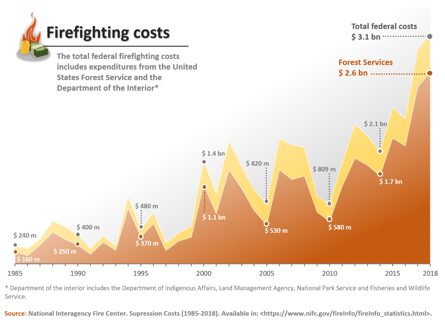
The financial cost of fighting wildfires increases continually, overburdening the State´s capacity. Planning the prevention and combat of fires using low cost digital tools provides a efficiency and economic way for managing fires.
Implementation
The Centre for Remote Sensing (CSR) has developed FISC- a model of fire ignition, spread and carbon balance model, which was successfully applied in the transition zone between the Cerrado and Amazon biomes. This model has been adapted to the Brazilian savannahs in the Cerrado Biome.
Given a ignition source (hot pixel), FISC predicts the fire spread direction, total burnt area, duration and intensity of fire, the biomass consumption and hence resultant CO2 emissions. The model incorporates the effect of a series of anthropogenic factors, including land zoning, proximity to roads and urban areas and climate conditions.
The model uses as input climate data and hotpixels from the National Institute for Space Research (INPE).

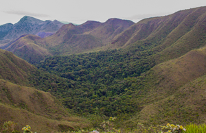
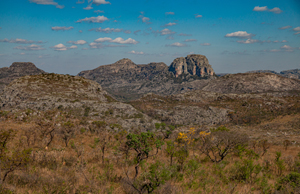
Selected Parks
Three National Parks were chosen for developing the fire propagation model for helping planning prevention and fighting of wildfires.
The model
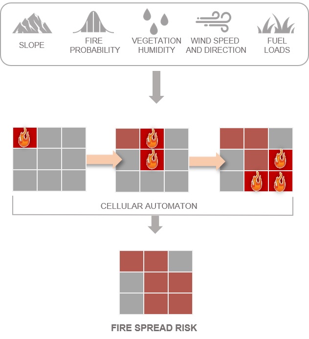
The fire spread model uses equations obtained from controlled experiments that estimate the the fire behavior due to variables, such as wind, slope, vegetation humidity, available fuel loads, barriers to fire and rates of burning and regeneration of vegetation. Several of these equations have constants that describe the local behavior of a fire and as such are calibrated from field experiment.
The model applies a Bayesian probability map of fire risk integrating fuel loads for each type of vegetation. The model consists of a cellular automaton that estimates the chance of a cell, with a neighbor on fire, to catch fire given fuel loads, vegetation humidity, wind, slope and physical barriers.
The video at the link below describes (in Portuguese) the variables that compose the model and how they are related to the spread of fire.